Watershed Resources & Reports – August 2019
Stakeholders and Watershed Issues | beaches, effluent, flooding, Indigenous communications, information, infrastructure, and source water | August 2019
There have been multiple releases of important plans, guides and reports over the summer months, so we’ve put them all in one place for your convenience.
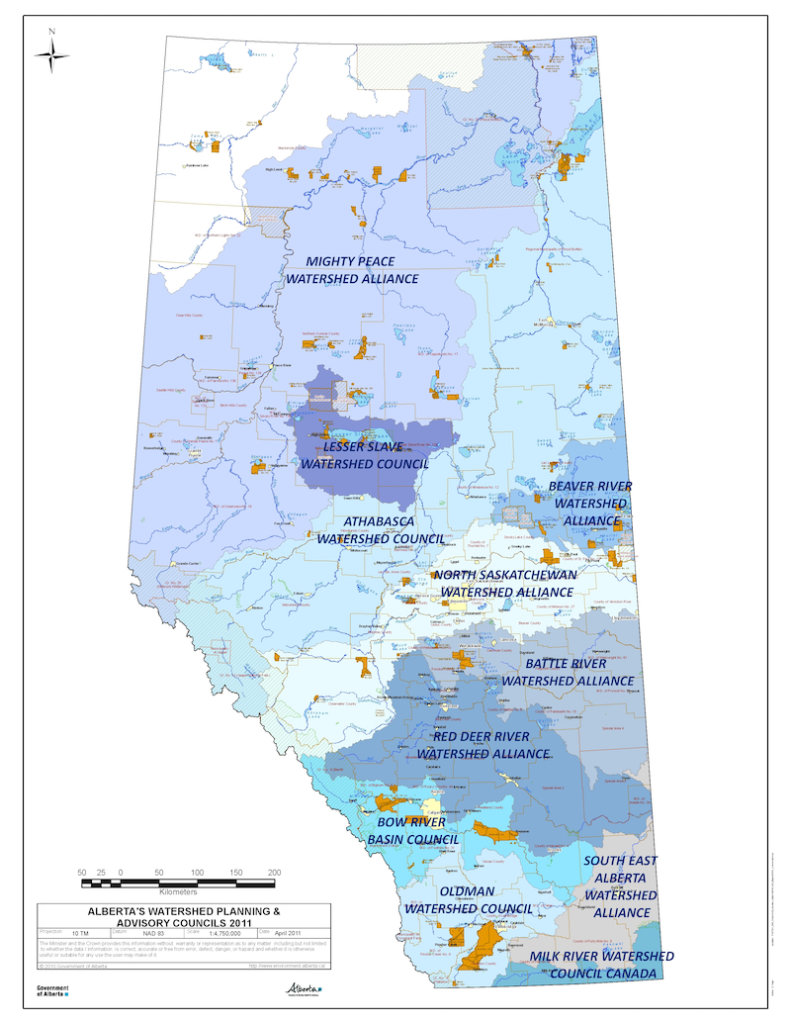
WPAC Compendium
Alberta’s Watershed Planning and Advisory Councils (WPACs) produce an annual compendium of their activities and accomplishments for the previous year.
The WPACs reporting in the compendium are:
- Athabasca Watershed Council
- Battle River Watershed Alliance
- Bow River Basin Council
- Lesser Slave Watershed Council
- LICA – Beaver River Watershed
- Mighty Peace Watershed Alliance
- Milk River Watershed Council Canada
- North Saskatchewan Watershed Alliance
- Oldman Watershed Council
- Red Deer River Watershed Alliance
- South East Alberta Watershed Alliance
Some highlights from this year’s report:
- Alberta’s WPACs have generated $6.3 million in resources above their core funding grants, which translates into a doubling of that amount.
- Alberta’s WPAC’s represent over 3000 engaged members, staff and volunteers.
Protecting Source Water in Alberta
“Access to safe, secure drinking water is inherently tied to the health and well-being of our communities, the environment, and our economy. Despite the importance of protecting the sources of our drinking water, it isn’t always clear how communities and individuals can accomplish this.
Source Water Protection (SWP) is a risk management process used in many jurisdictions and designed to maintain or improve the conditions of drinking water. Since March 2018, the Alberta Water Council has been working on a project titled “Protecting Sources of Drinking Water in Alberta.” The goal of this project is to document existing SWP approaches and provide guidance for protecting the public, private and individual drinking water sources in Alberta. Alberta Lake Management Society (ALMS) Board Member Mike Christensen has been one of the two co-chairs on this project. This project is nearing completion and is seeking input and feedback.
This project has generated two reports:
- Draft Guide to Protecting Sources of Drinking Water in Alberta (provides advice to communities and individuals on developing a SWP program); and
- Draft Protecting Sources of Drinking Water in Alberta Report (provides information about the current state of SWP in Alberta and other jurisdictions).
As well as appendices:
- AWC Protecting Sources of Drinking Water in Alberta Appendices C-F
- AE SWP Approaches and Risk Management Models in Selected Jurisdictions Appendix
If you have any comments, edits, or suggestions on these reports, or the project as a whole, please contact Mike Christensen at mchriste@epcor.com. Comments are due by August 28, 2019.” – Alberta Lake Management Society
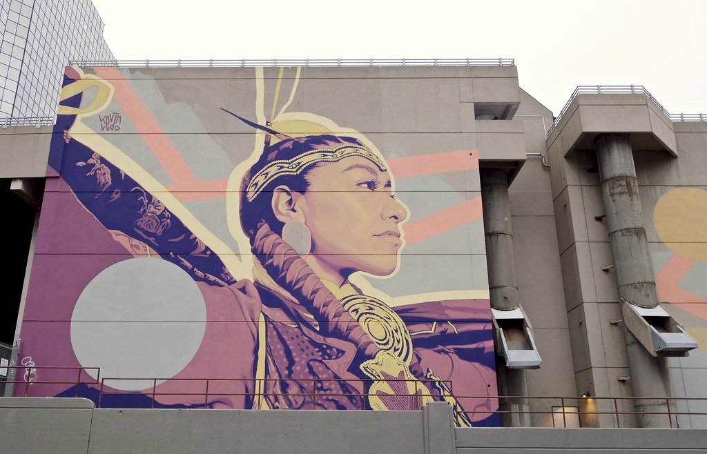
ayisiyiniwak: A Communications Guide
“ayisiyiniwak [a/yi/see/ni/wak, Cree for ‘the people’]: A Communications Guide” (ayisiyiniwak) is part of the City’s (Saskatoon) commitment to respond to the Truth and Reconciliation of Canada’s Call to Action #57, which specifically calls upon governments to: “provide education to public servants on the history of Aboriginal peoples, including the history and legacy of residential schools, the United Nations Declaration on the Rights of Indigenous Peoples, Treaties and Aboriginal rights, Indigenous law, and Aboriginal-Crown relations.”
Originally developed in 2017 as an educational resource for City of Saskatoon employees to enhance their understanding of Indigenous culture and practices, copies of the guide have since been requested by organizations across Canada including government agencies, other municipalities, educational institutions and community groups.
ayisiyiniwak was developed in partnership with the Saskatchewan Indigenous Cultural Centre and the Office of the Treaty Commissioner who provided valuable information on First Nation meeting etiquette, protocols and ceremonial traditions.
The second edition of ayisiyiniwak was released in August 2019 and includes the following updates:
- a chapter devoted to Métis culture and local history
- a new Inuit chapter
- updated Cree translations (including the title) as reviewed by nêhiyawak or Cree speaking linguists
- new sections within the First Nations chapter including 60’s Scoop, Elder’s Helper, Syllabics, Flag Etiquette, Anthems/Honour Songs, The Grand Entry, Blanketing and Two-Spirit People
- several new terms and suggested resources
While the information presented in ayisiyiniwak is unique to Treaty 6 Territory and Homeland of the Métis, it does provide some basic understandings of Indigenous culture and history that are applicable to other jurisdictions. In all cases, it is advised to consult local Elders to determine what is appropriate in other parts of Canada.
ayisiyiniwak is presented as an adaptive and living document that will continue to develop as our relationships and understanding grows.” – City of Saskatoon
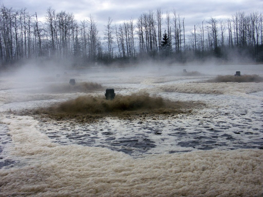
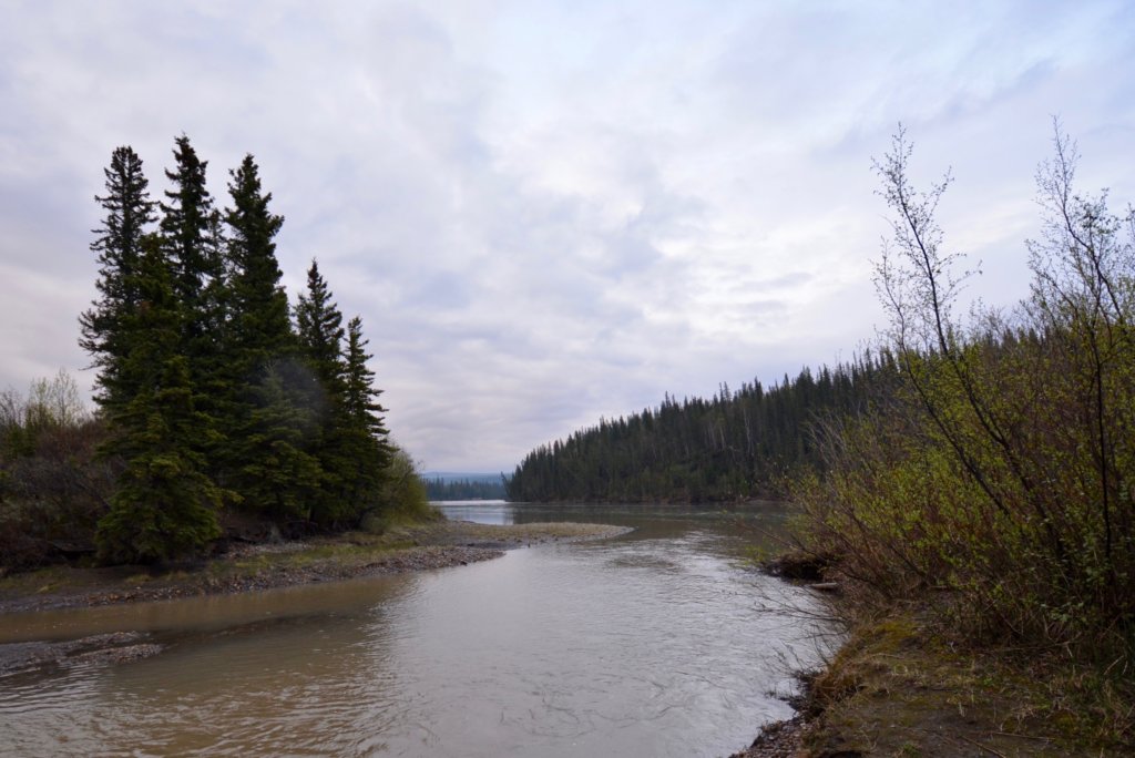
Upper Athabasca Effluent Characterization
“Alberta Environment and Parks (AEP) is collecting information required to develop a Surface Water Quality Management Framework (SWQMF) in the Upper Athabasca Region that will allow the management of cumulative effects on surface water quality. AEP retained Associated Environmental to conduct an initial study to characterize effluents and inform effluent monitoring programs in the Upper Athabasca Region based on existing information.
The principal goals of this study were to:
- identify variables of concern (VOCs) for the Upper Athabasca River.
- develop recommendations for future effluent monitoring programs.
- develop a prototype effluent quality database that can provide readily available information on effluent quality.
Effluent is discharged to the Upper Athabasca River from municipal wastewater treatment facilities, coal mines, and pulp mills. For this report, effluent data were available from two coal mines, two municipal dischargers, and six pulp and paper mills. Receiving waters data were available for the coal mines and pulp and paper mills. The data were compiled, analyzed and used in the identification of VOCs. A literature review was completed to provide additional information on VOCs for the three sectors in the Upper Athabasca Region.”
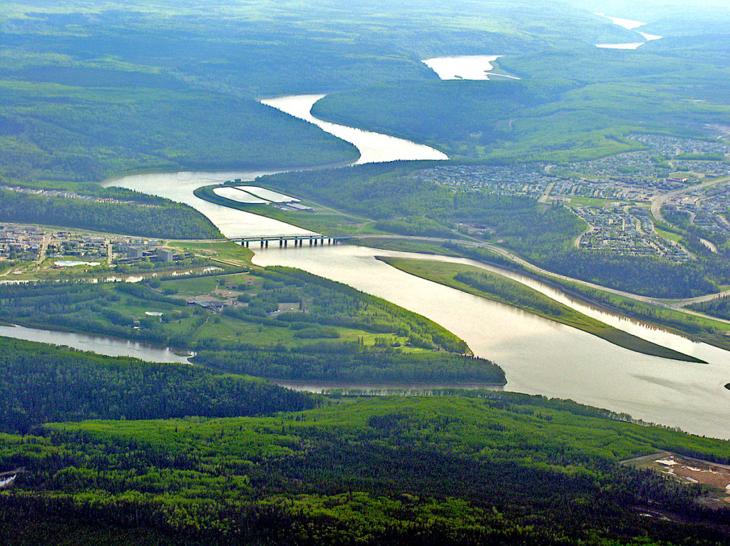
Fort McMurray River Hazard Study
“The Fort McMurray River Hazard Study assesses and identifies river-related hazards along 15 km of the Athabasca River, 20 km of the Clearwater River, and 5 km of the Hangingstone River, through Fort McMurray and the Regional Municipality of Wood Buffalo.
The multi-year study started in fall 2015 and technical work on all components is now complete.
The Fort McMurray River Hazard Study is being completed under the provincial Flood Hazard Identification Program, the goals of which include enhancement of public safety and reduction of future flood damages through the identification of river and flood hazards. The provincial study is being co-funded through the federal National Disaster Mitigation Program.” – Government of Alberta Flood Hazard Identification Program
More information about the Alberta Flood Hazard Identification Program can be found at:
www.floodhazard.alberta.ca
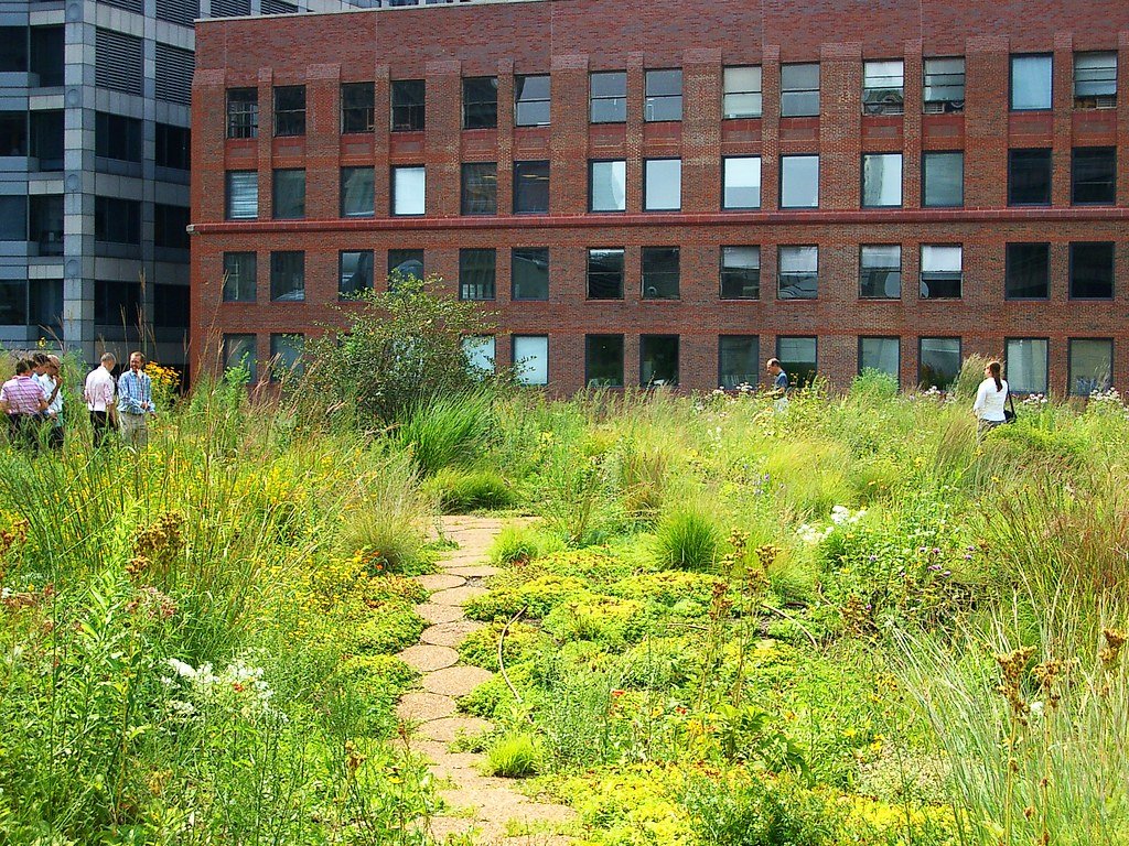
Adopting Natural Infrastructure
“This report is intended to inform the decision-making practices of governments, businesses and organizations who are in a position to influence the choice between engineered and nature-based approaches to infrastructure development. Its core focus is to document the benefits of ‘natural infrastructure’ (NI) used to address three specific infrastructure challenges, and compares these benefits, values and costs associated with conventional‘grey infrastructure’ (GI) development. The preparation of the report began with a comprehensive literature review of pilot studies and project reports on three distinct types of NI, targeted to three infrastructure outcomes:
- Inland and riparian wetlands for flood control;
- Coastal ecosystems for flood/storm surge control; and,
- Urban forests for urban heat island control.”
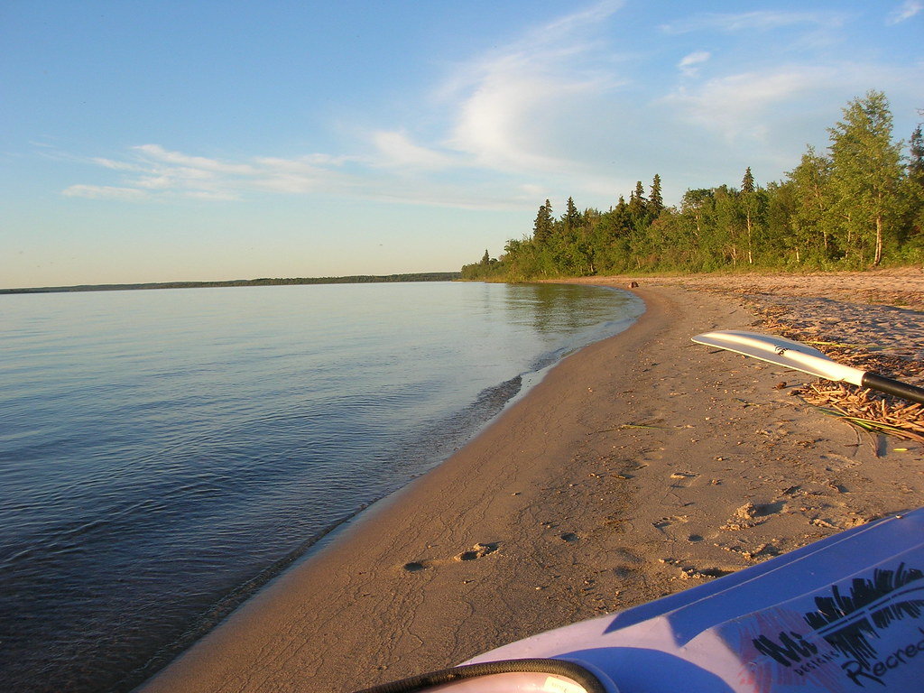
Alberta Safe Beach Protocol
“The Alberta Safe Beach Protocol outlines the provincial program to assess and manage the public health risks associated with recreational waters throughout Alberta. It specifies recreational water quality standards designed to protect bathers primarily from microbiological risks and, where applicable, from physical and chemical risks. It also introduces a site assessment tool used to survey each site for hazards1 and a template that may be used to further evaluate those hazards and identify strategies to reduce them.
The Protocol applies to natural or manmade Alberta recreational water sites (beaches2), which have designated public access for recreational activities where immersion and ingestion are likely.”
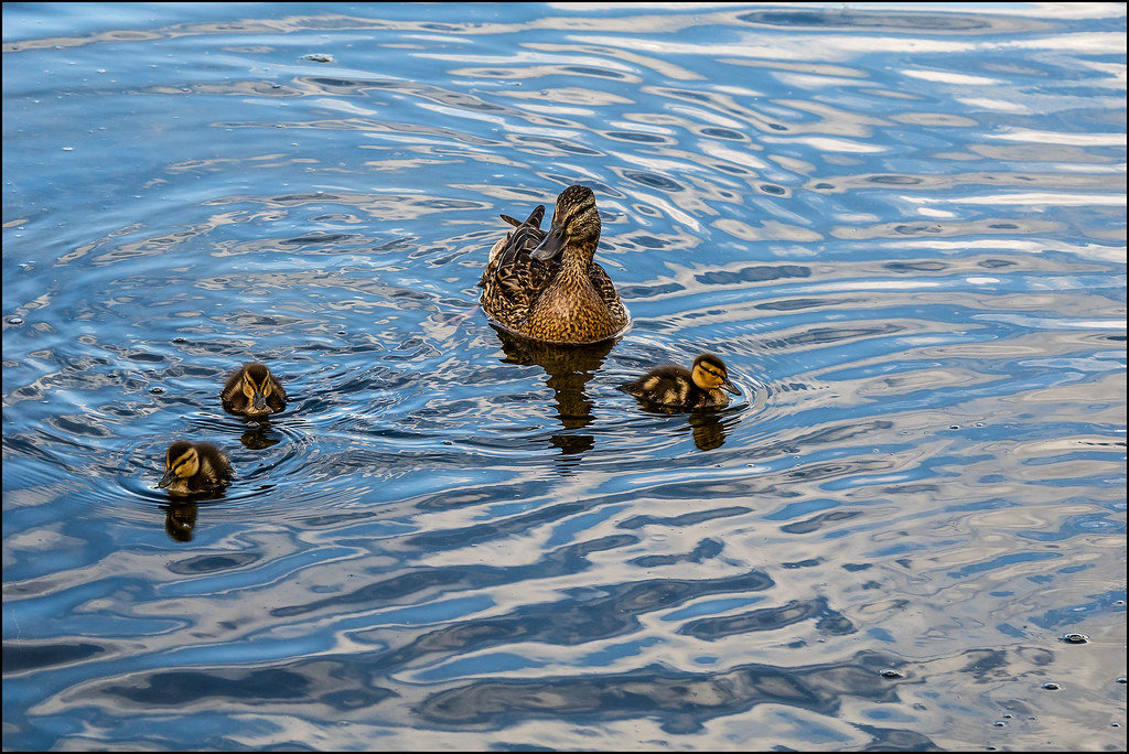
Photo by dmitryzhkov on Foter.com / CC BY-NC-SA
swimmersitch.ca
“Swimmer’s Itch is the common name for a rash you can develop after swimming in many lakes around the world. The itch is caused by free-swimming larvae of parasites, called schistosomes, accidentally penetrating your skin while you are in the water. This causes an allergic reaction to occur and results in a rash to form that can last up to two weeks.
By filling out the survey with information related to your recent case of swimmer’s itch, you can help us inform others of where Swimmer’s itch outbreaks are occurring. The information from the survey is used to update an outbreak map. The map is interactive and highlights recent swimmer’s itch reports, so you can keep up-to-date with the latest outbreaks.” – swimmersitch.ca
If you have any questions about the above information or have an important information source (report, guide, website) that you think we should share, please contact us at admin @ awc-wpac.ca or call 780.213.4389.